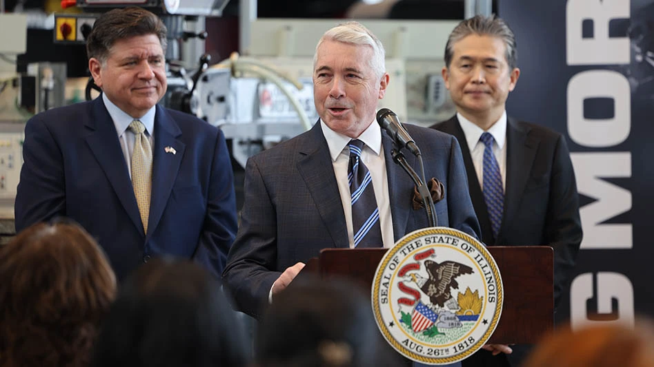
Raytheon Co.'s recent win of an $886 million contract for upgrading ground operations for the U.S. Global Positioning System is potentially worth more than twice that much, as military and commercial demand for GPS use--including a much-needed update for the U.S. air traffic control system at the Federal Aviation Administration--keeps growing.
Under the new contract with the U.S. Air Force, which manages the output of GPS signals, Raytheon will head a team of contractors to make satellite-based GPS more accurate and more secure.
Bob Canty, Raytheon's program manager for GPS in Aurora, Colo., said in an interview that the U.S. is the only provider of global GPS signals, although other countries have plans to offer them. While the signals are provided free to users, the total market for GPS equipment today is about $20 billion. With new uses coming every day, that's expected to grow to $300 billion by 2020, Canty said. Currently planned upgrades will facilitate the added use.
Canty said that 90% of GPS use is for timing, and just 10% for navigation, such as in automobiles.
In a note to investors, analyst Howard Rubel at Jefferies & Company, said the GPS upgrade is an important win for Raytheon's growing Intelligence & Information Systems unit, and could be worth as much as $1.5 billion over five years. Potential business can add "a few pennies" to Raytheon's annual earnings per share, he said.
The initial contract could include follow-on work through 2016, Canty agreed. It's likely that an FAA-related contract would be added after that. GPS is at the heart of the federal government's master plan to switch U.S. air traffic control to satellites, from today's ground-to-air communications with pilots.
While Raytheon will oversee ground-based control for GPS, Lockheed Martin Corp. (LMT) has a separate contract to build satellites that emit GPS signals in space.
In the military, GPS is used for everything from missile guidance to handheld navigation devices carried by soldiers.
On the commercial side, consumers use GPS in cars and cellphones. But GPS is also used to time-stamp interbank financial transactions.
The upgraded system will fine-tune accuracy of GPS signals. "For the military, GPS provides pinpoint accuracy to avoid any kind of collateral damage in bombing," Canty said. Better precision for commercial use is seen in Deere & Co.'s (DE) remote-control system to plant seeds with accuracy within three centimeters, to avoid planting too many or too few seeds. Currently, there are 24 satellites in use around the earth for GPS, but Canty said that may be expanded to 32. An accurate signal requires triangulation among three satellites, with an unobstructed view of the end-user.
For the FAA safety is key. A GPS-based traffic control system will allow planes to fly closer together, and in more efficient take-off and landing patterns. That will allow air traffic to grow, and will also ensure safety, a key issue for the FAA.
Plans for FAA modernization stalled in recent years, although a bill is due to come up in the senate later this month. Overall, a GPS-based system will allow planes to fly closer together, with better take-off and landing patterns, while ensuring maximum safety. Overall, modernization is likely to cost upwards of $40 billion. The aviation industry has urged a quicker pace for the FAA's "next gen" plans, as air passenger traffic continues to grow.
-By Ann Keeton, Dow Jones Newswires; 312-750-4120;ann.keeton@dowjones.com
Latest from Aerospace Manufacturing and Design
- Archer to test Starlink onboard its Midnight air taxis
- System eliminates cage-creep in sliding bearings
- Bodo Möller Chemie signs worldwide supply contract with Airbus
- Sandvik Coromant's CoroTurn Plus turning adapter
- ZOLLER Technology Days & Smart Manufacturing Summit May 13-14, 2026 in Ann Arbor, Michigan
- Walter's TC620 Supreme multi-row thread mill family
- ThermOmegaTech achieves CMMC Level 2 C3PAO certification
- One-touch precision flex locators